| Publication Type | Journal Article |
| Author | Pavel Hanžl, Alexandra Guy, A. Battushig, Ondrej Lexa |
| Year of Publication | 2020 |
| URL | https://www.tandfonline.com/doi/full/10.1080/17445647.2019.1700835 |
| DOI | https://doi.org/10.1080/17445647.2019.1700835 |
| Keywords | geology, gravimetry, Lake, lithostratigraphy, Zone, Zone Gobi-Altai, Zone Trans-Altai |
| Abstract |
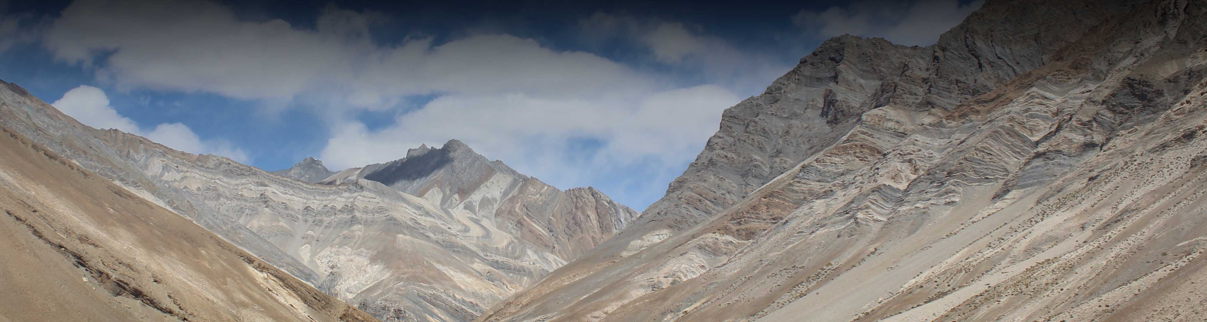
The geological map L-47-V at a scale 1:500,000 covers part of Mongolian Altaids with ophiolite fragments in southern Central Asian Orogenic Belt in SW Mongolia. This region has a basin and range topography with Neoproterozoic and Palaeozoic units exposed at NW–SE trending ranges rising along major intracontinental faults and with intermontane basins filled by Mesozoic and Cenozoic sediments in between. The map shows clear N–S tectonic zonation featuring the northerly Precambrian Baidrag microcontinent, the lower Palaeozoic Lake Zone in the centre and the southerly Palaeozoic Gobi-Altai and Trans-Altai zones. Gravity highs are located in the SW part of the map and low to intermediate Bouguer anomalies in the NE part. NW–SE trends of gravity anomalies correlate well with the contact between the Trans-Altai and the Gobi-Altai zones but the important first-order geological boundary between the Lake and Gobi-Altai zones cannot be delineated by the gravity gradients. |
| CLR projects | Crustal growth and construction of continental crust exemplified by Central Asian Orogenic Belt |
| Download citation |
Home
Publications
Geology Of The Gobi And Mongol Altai Junction Enhanced By Gravity Analysis: A Key For Understanding Of The Mongolian Altaides